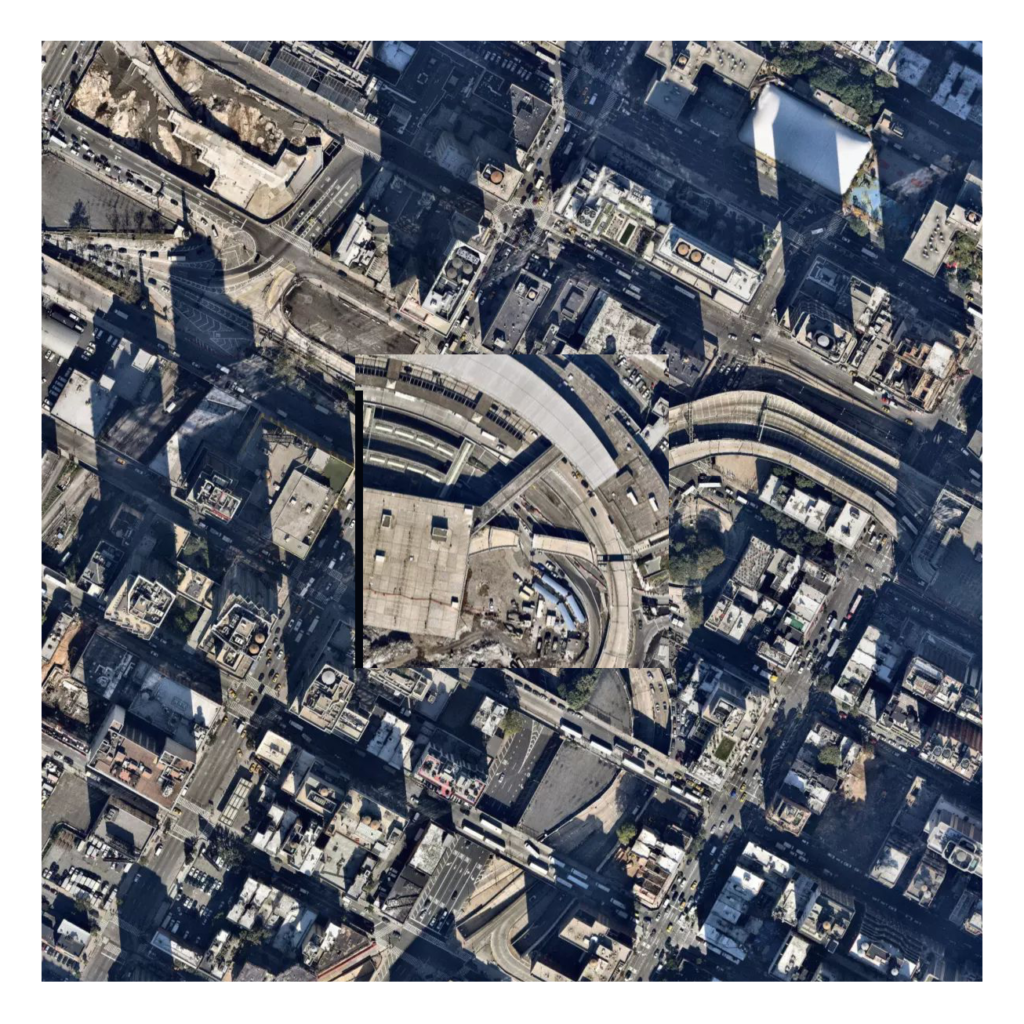
Back and Forth is a map that advances through aerial images linked by the visual similarity of the center tiles, asking: do similar places have similar contexts?
Like A Different Similar Center (030), this map creates an imagined geography by replacing the center with a similar, but geographically disparate tile. However, it then replaces the context with that of the new center. As such, it moves from place to imagined place to “similar” place.
By alternating between center and surrounding, it compares the similarity of the settings that frame them. It creates a chain of similarity, and in doing so, undermines the supposed similarity of the center — a beach becomes an airport, becomes a sports field, becomes a water treatment plant. Yet, these identifications are only known by seeing the center in its original context. In moving from place to place rather than comparing to a single context, the map asks: are these places similar?
Technicals
The process for collecting data from Terrapattern—a project for identifying visual similarity in aerial imagery—is detailed in a previous blog post.
Next Steps
- See how the map is different by reducing the extent of the center tile to match that used by Terrapattern

One thought on “Back and Forth (036)”
Comments are closed.