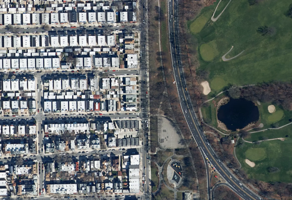
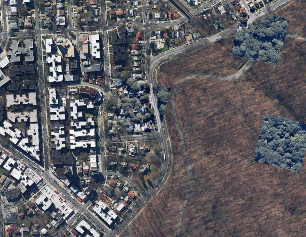
Glendale Slide follows a constructed divide between built and “natural” in the Glendale and Forest Hills neighborhoods. The slow-moving animation encourages one to see the differences in areas that might otherwise appear homogenous.
What is generically identified as “green space” is actually a small mausoleum city, parched baseball diamonds, overlapping racquet courts, and artificial turf. Built form also becomes differentiated: houses with front yards stand against the long shadows of the apartment towers, and the linearity of the rail lines wind between the flat, white roofs of industrial buildings.
Technical
Glendale Slide builds on the first map of the series, The Slow Shore Shuffle, which traced the defining land-water divide of Staten Island. As before, regular points along a polygon were exported from QGIS, modified in Rhino, and then exported again to a GEOJSON file. On refresh, a random start point is selected and the map pans slowly along the path. Occasionally, an odd image tile taken at a different time from its neighbors will even appear.
Next Steps
- Walk the same path that is traced in the animation.