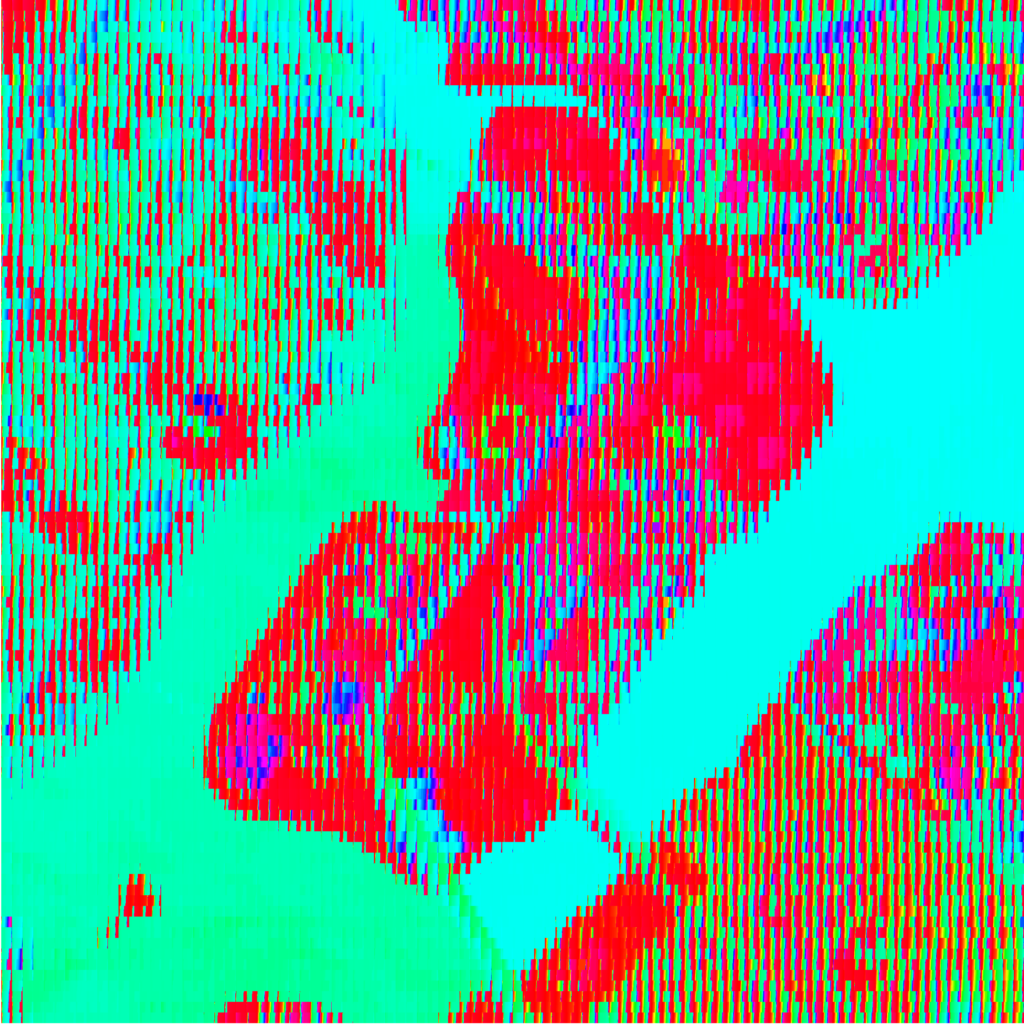
“Finding Green” (live link) divides an aerial image into subdivisions and sorts the pixels within each by their hue value. The sorting makes evident the dominant hue in each image, which are further exaggerated, and conflated, by saturation and lightness.
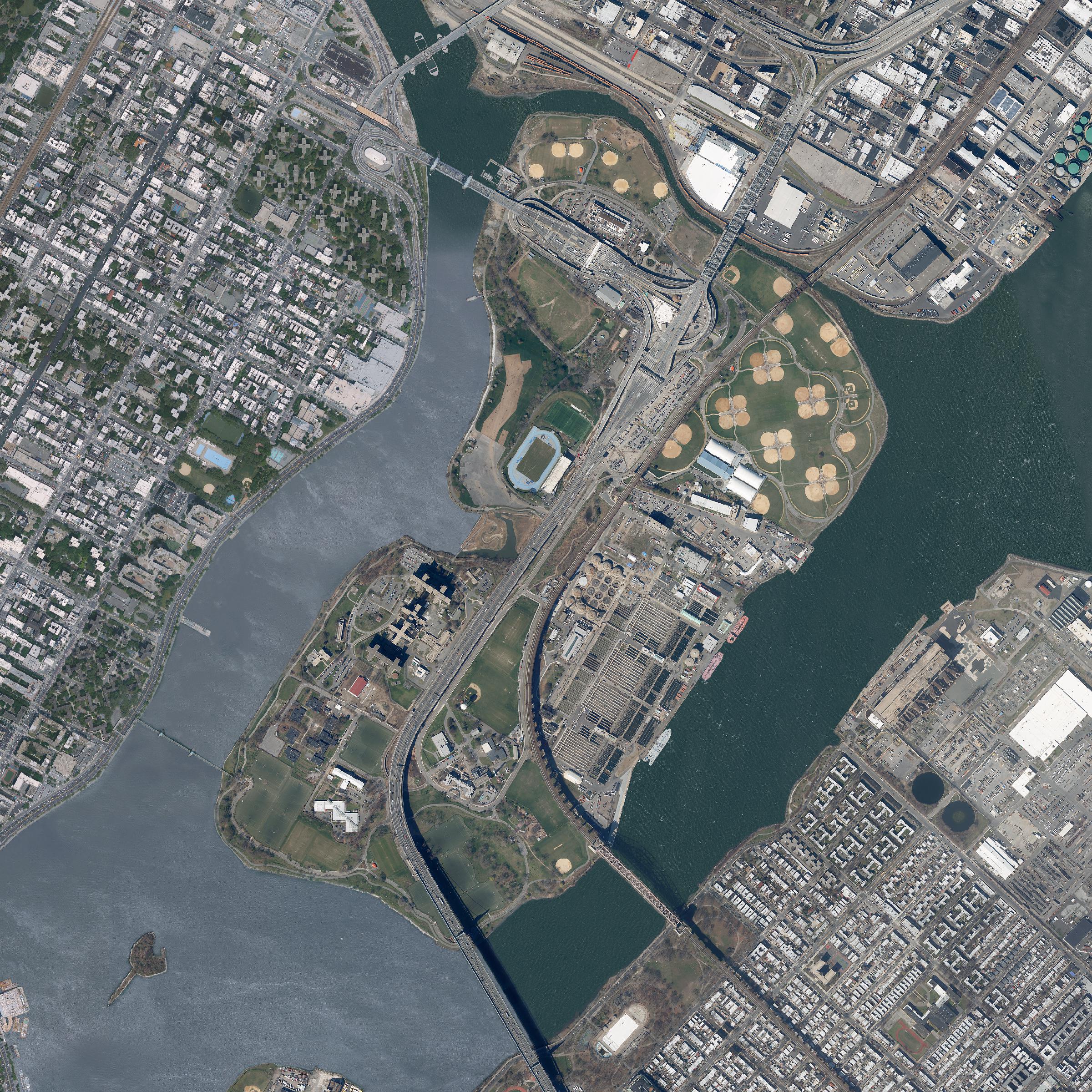
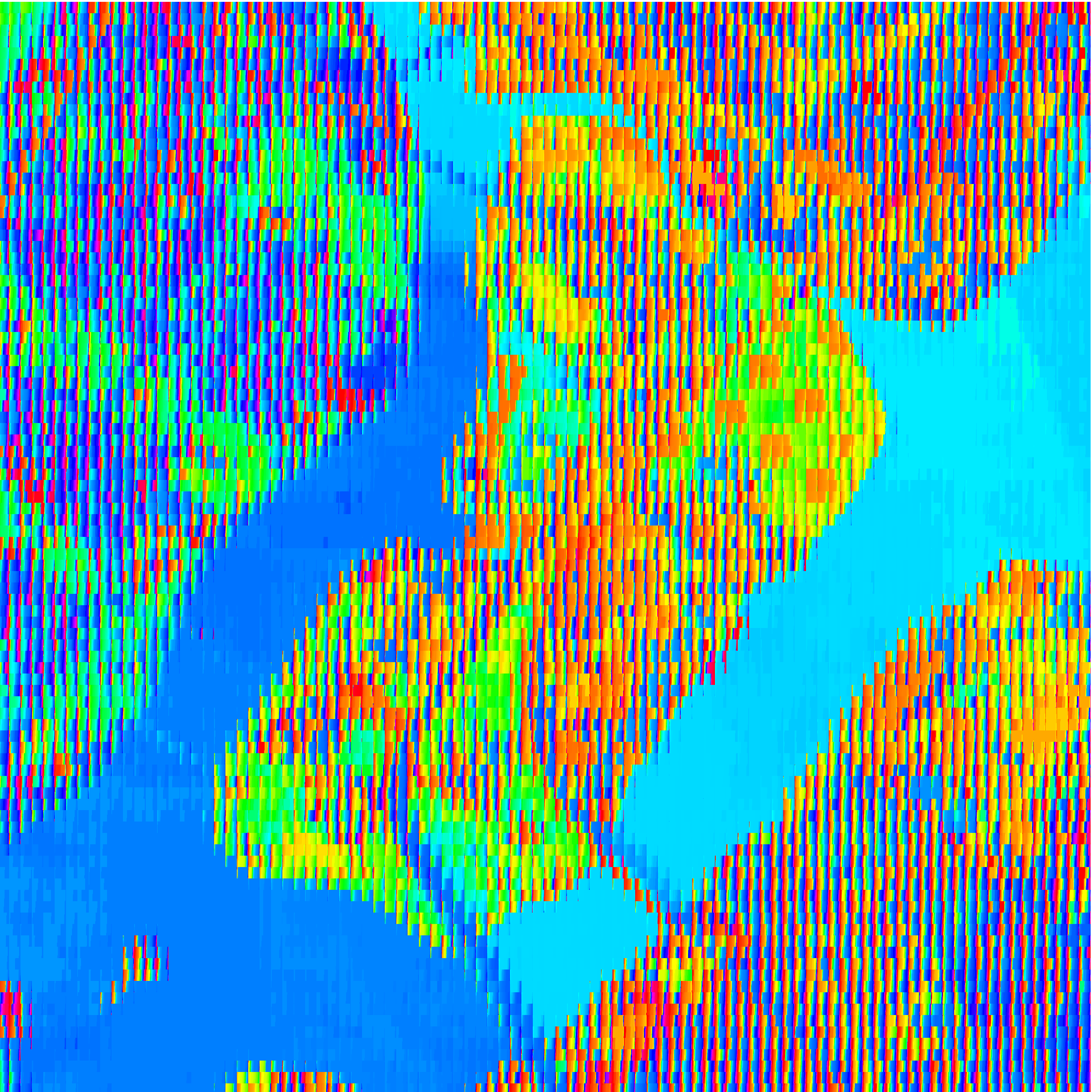
At its full extent, prominent hues are immediately recognizable; however, on closer inspection, the variety within subdivisions becomes more clear. What do these hues represent? Is “green” an adequate proxy for parkland?
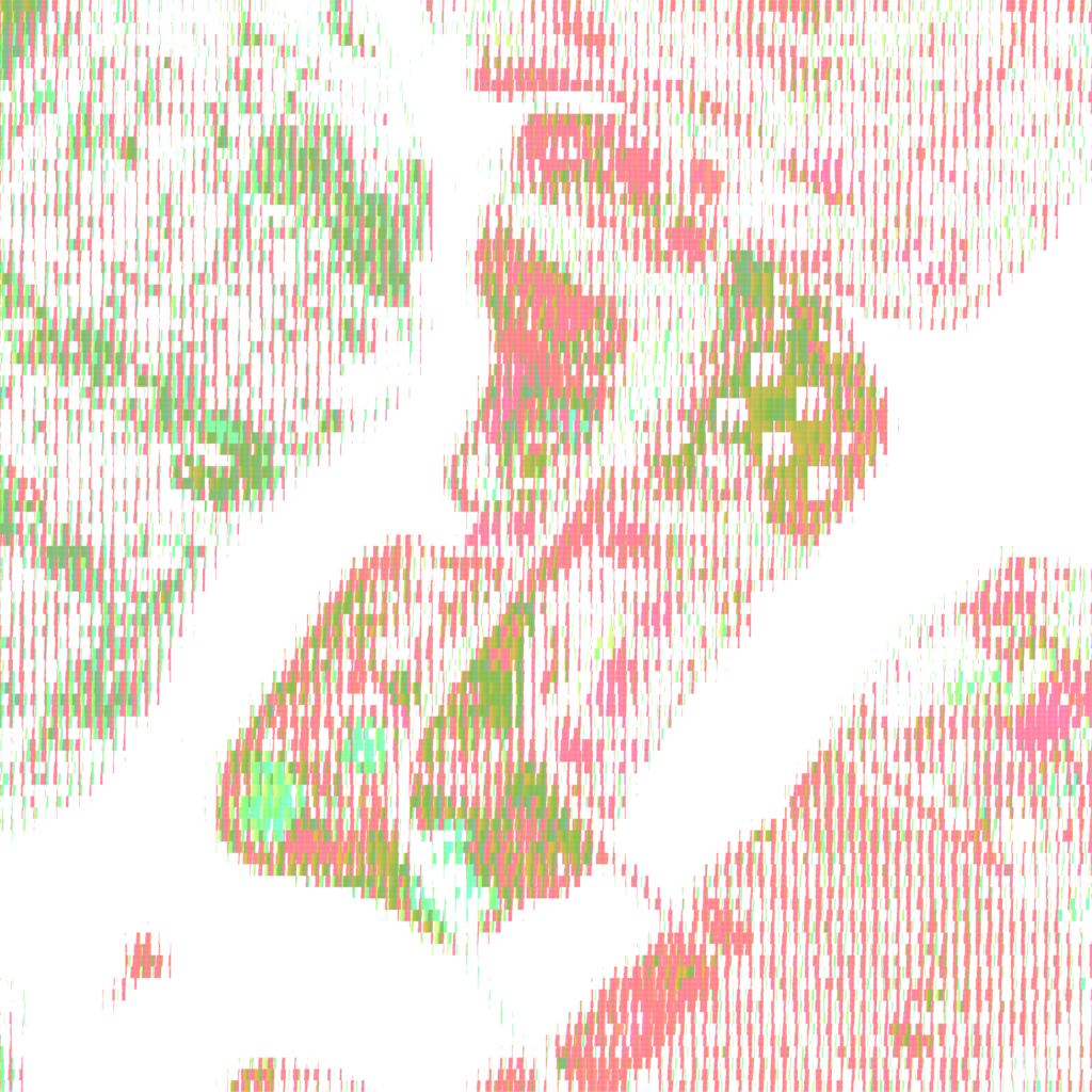
Both an RGB image (Spectral Bands 123) and a near-infrared image (Spectral Bands 432), in which vegetation is identified by red hues, were hue sorted. Different base images identify different aspects of the landscape. Sedimentation made evident in the RGB image is less evident in the near-infrared image, as the contrast between vegetation and built form takes precedence.
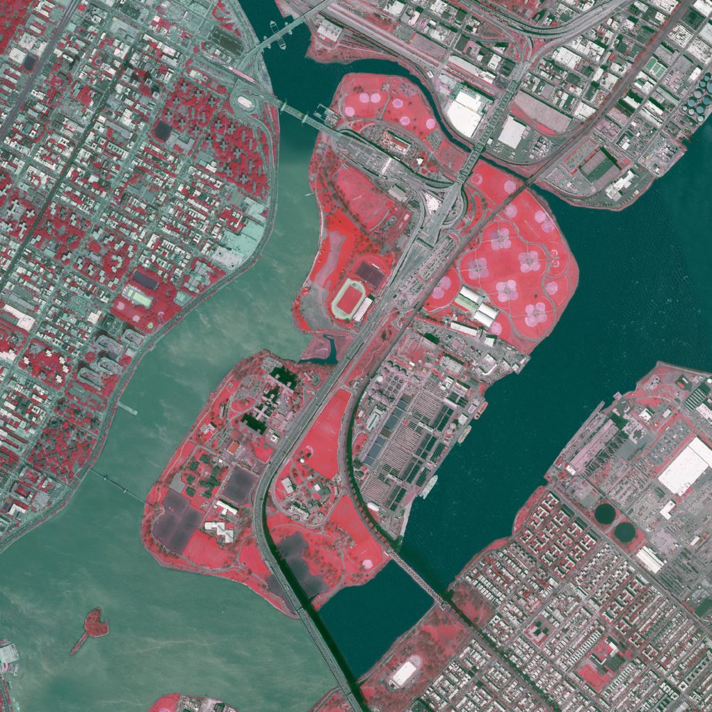
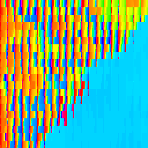
The “greenness” found in the two base images was compared by clipping the sorted pixels to include only the green and red hues, respectively.
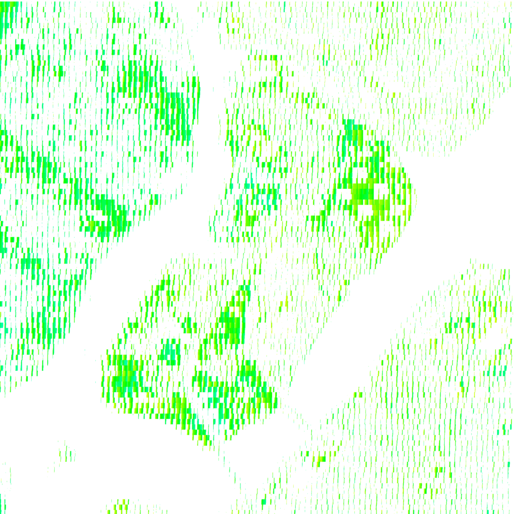
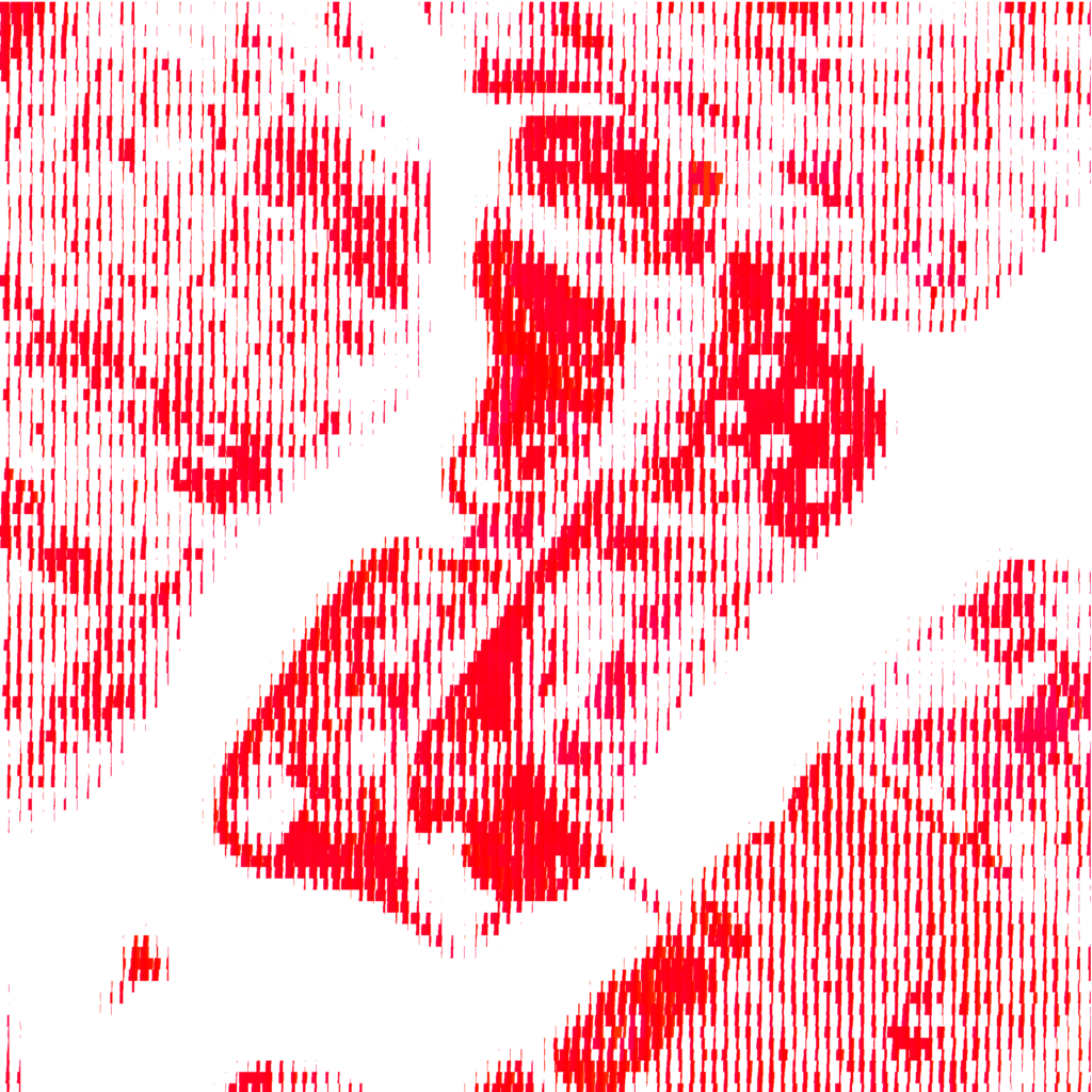
Images were produced using Processing. The pixels of an image were subdivided, whereupon pixel hue values were looped through within each subdivision. The collected hue values were then sorted and redrawn within the subdivision’s extent. In the clipped RGB image, only hue values between 70 and 160 (of 360) are shown, and in the clipped near-infrared image, hues between 0 to 15 and 340 to 360 (of 360) are shown.